SiteScan Data Collection
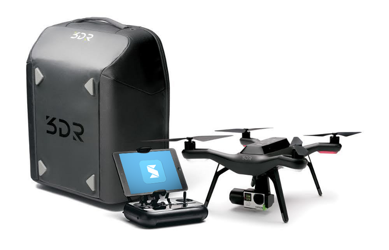
On September 14th and 15th, we hosted four live events showcasing 3DR’s drone technology and Site Scan software. Here is the data that we collected during the event at our Walnut Creek location. We are providing multiple links because SiteScan provides multiple output formats, or deliverables, for use in various Autodesk products:
Infraworks 360 (in browser viewing)
CAD Masters WC – Infraworks 360
Civil 3D Surface (download, unzip, and open “Surface Only- CMI WC – 2016.dwg” in Civil 3D)
Note: This surface was originally created using a Civil 3D Point Cloud from a .las file created by SiteScan (221,280 points). The .las file does not contain classification for vegetation or ground levels, but does classify each image as a new classification. The surface was then saved as a .xml for sharing.
CAD Masters WC – SiteScan/C3D Surface.zip
Point Cloud (download, unzip, and create a new point cloud in Civil 3D using a .las file)
CAD Masters WC – SiteScan/Cad_masters_large-V93oy.las
Aerial Tif Image (download, unzip, and insert into Civil 3D or Map 3D using the command MAPIIMPORT)
CAD Masters WC – SiteScan/Aerial Image.zip
Recap Mesh (download, unzip, and view in Remake or ReCap 360 – online)
Note: Remake is a new tool that is part of the ReCap family. Here is a link to install the free trial of Remake. http://remake.autodesk.com/try-remake
CAD Masters WC – SiteScan/Recap Mesh.zip
Tell your associates about our next live event in Walnut Creek:
Wednesday, November 2nd
1:00 – 4:30 pm
Click here for more information.
Read more about the event where this data was collected here.
Read technical information about affordable accurate GPS Ground Control here.


