Inexpensive GPS Ground Control
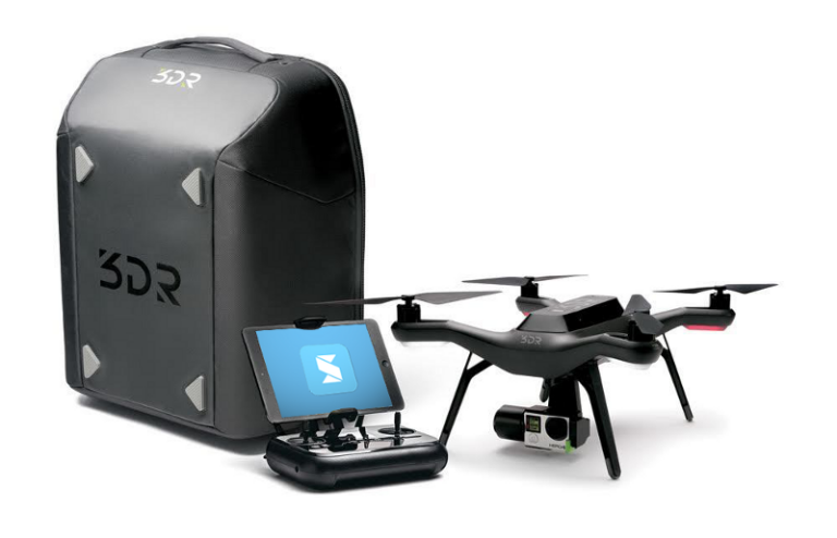
Recently we demonstrated the features and benefits of 3DR’s aerial drone technology. One of the questions that came up at our events was the relative accuracy vs. geopositioned accuracy of the data generated. We explained that relative accuracy using the latest SiteScan system with the Sony camera is in the 0.14’ range. This is because in addition to recording a GPS location with each image the drone takes, SiteScan provides an intensive pixel matching and de-curving algorithm to compute the final model.
Inexpensive Ground Control
With respect to total site geopositioning, the onboard GPS is only able to locate the site within several feet. In order to locate the site with higher precision, GPS ground control points need to be set in advance of the flight using a higher quality GPS than that provided on-board the SiteScan drone.
I (Brian Lee of CAD Masters) use the Emlid Reach RTK – an amazingly inexpensive unit for the high level results. https://emlid.com/shop/reach-rtk-kit/
Then I use open source software called RTKLIB to get my results, a plot of the coordinates, and post-process. It’s a very powerful bundle of tools.
There are many free/public base stations so use a CORS Map to find a local GPS provider to post-process: http://www.ngs.noaa.gov/CORS_Map/
You can either use NTrip to stream the GPS correction data to your RTK-GNSS real-time with a WiFi hotspot or download an archived RINEX-format file for certain dates or fix the coordinates later. I like Ntrip because you can tell if your GPS position is getting a desired fixed mode rather than a float mode. You’ll want to know this while you’re still outside being able to move around to a better location for a fix.
To get NTrip access, I emailed [email protected] to get streaming data for Lafayette, CA. Do this while the item is being shipped because it takes them a while to get back to you.
http://seismo.berkeley.edu/bard/realtime/
Don’t forget to convert the ellipsoid-based height you get with GPS to a GEOID model to get actual height above mean sea level. http://www.ngs.noaa.gov/GEOID/
I’ve also been talking to Swift Navigation (based out of San Francisco) and they create a similar RTK device known as the Piksi. I haven’t used the Piksi yet but I hear they’re good too. I like the Emlid Reach RTK because it has a friendly UI and an active community forum.
This GPS RTK Surveying Workshop was immensely educational to me:
https://www.youtube.com/watch?v=vOJ3u7Zd_i0
Use the Chrome plugin Video Speed Controller to watch it 2X faster.
We’ll be hosting another live drone demo on Wednesday, November 2nd from 1:00 – 4:30 p.m. If you’re interested in registering for that event, please click here.
Please don’t hesitate to comment if you have further insights or questions.

