Hey, Mr. Civil Engineer, are there GIS Opportunities for You?
Many engineering firms are built around the idea of “get the plans out the door.” That’s how they make their money. That’s what everybody rallies around. But what happens once the plans get out the door? Sure, the project gets built. But then what?
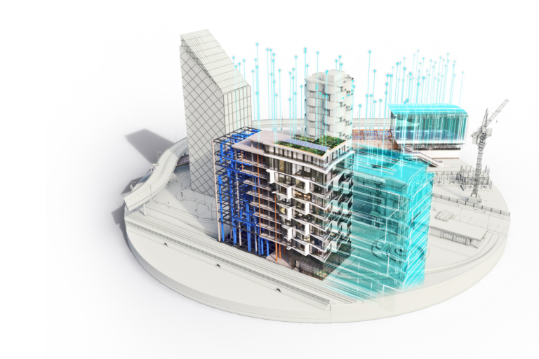
One of the concepts of BIM in the architecture world is managing the building data during its lifecycle. In the civil engineering world, when you complete a sewer rehabilitation project, who’s going to manage that sewer pipe during its lifecycle? To put it another way, your client has accumulated data as a result of your design plans. How is that data going to be used, even after the project is complete?
GIS is tailor made to provide that key BIM ingredient for the civil engineering world: managing assets during their lifecycle. Is offering GIS services something that you might be interested in? Is it something that you should be interested in? Will it give you a broader set of tools for analysis? Perhaps it’s time to start having conversations with your clients about asset management and planning, location and status of assets, and operational efficiency. Perhaps this will lead to new business opportunities beyond “get the plans out the door.”
Hopefully, you’ve read Kyle’s series on Autodesk Topobase, parts 1, 2 and 3. Topobase is a GIS application that can be used to manage just about any asset in the engineering world: parcel, pipe, utility, structure, you name it. If you are looking for an application to include in the conversation, then Autodesk Topobase might meet your needs.


