GoogleEarth & Civil3D
Many people know about the capabilities of Google Earth with regards to Civil 3D. I’m going to describe possibly some tips and tricks that may help with this process. I will demonstrate the procedures and setup for importing Google Earth images and surfaces into Civil 3D 2011, with a simple little trick to get a color Google Earth image into Civil 3D.
Step1
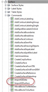
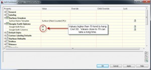
First, you want to setup the drawing. Set the Surface Command Settings and the Current Coordinate System for the drawing as shown below.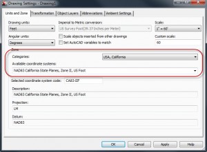
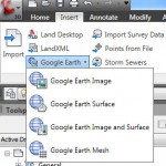
Select the command to insert an image or surface into Civil 3D 2011.
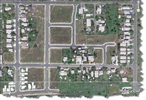
Once you have the surface and image, you should be golden. Civil 3D has a limitation to the Google Earth image; it comes in black and white. If you wish to show a color image, simply follow the steps outlined below.

